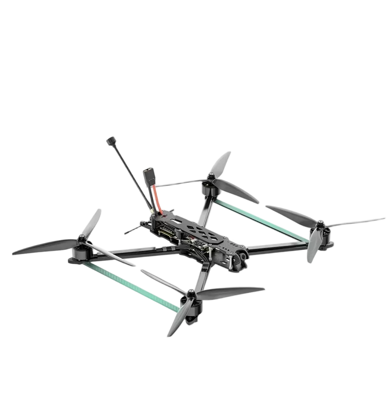
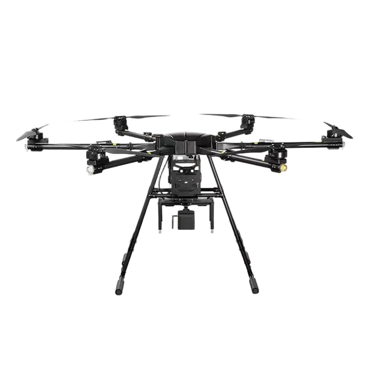
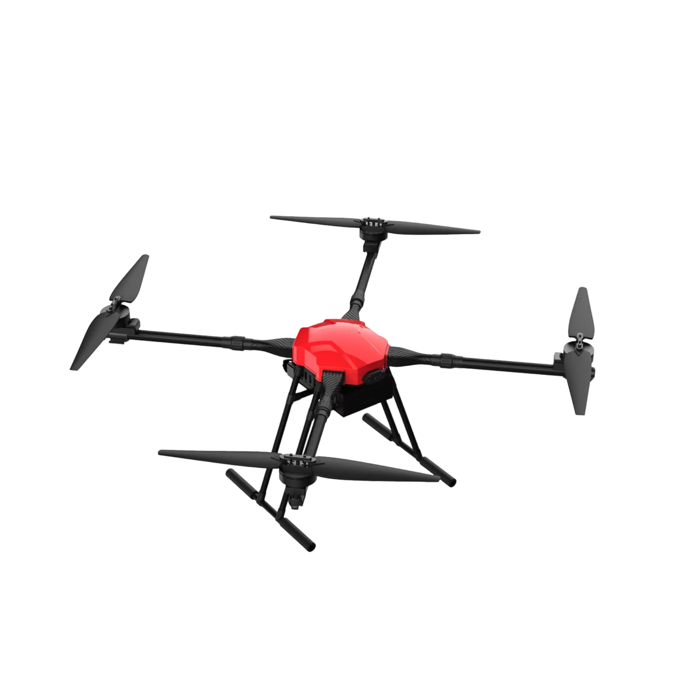
Beyond the dramatic headlines of rescue missions, drones are quietly revolutionizing two seemingly very different fields: agriculture and filmmaking. In both, they are providing a perspective that was once impossibly expensive or simply unimaginable, driving efficiency and creativity to new heights.1. The Precision Farmer: Agriculture's New Best FriendModern farming is no longer just about tractors and soil; it's about data. Agricultural drones, or "ag-drones," are essentially flying sensors. They fly over vast fields, capturing multispectral images that reveal the health of each individual plant. They can pinpoint areas suffering from lack of water, nutrient deficiency, or pest infestation long before the human eye can see it. This allows farmers to apply water, fertilizer, and pesticides only where needed—a practice known as precision agriculture—saving money and protecting the environment.Image Generation Prompt:A wide, sweeping shot of a lush green crop field at sunset. A robust, six-rotor ag-drone flies low over the crops. The image is split: one side shows the normal green field, while the other side reveals a false-color NDVI (Normalized Difference Vegetation Index) map overlay, with vibrant red indicating healthy plants and yellow patches revealing areas of stress.2. The Aerial Artist: Cinematography's Revolutionary ToolThe iconic, sweeping aerial shots in modern films and documentaries are now often captured by drones. They have democratized aerial cinematography, offering the dynamic, fluid movement of a helicopter shot at a fraction of the cost and risk. Drones can chase a car through a canyon, soar over mountain peaks, or glide intimately through a forest, creating shots that pull the audience directly into the story. They are not just cameras in the sky; they are powerful tools for visual storytelling.Image Generation Prompt:A professional cinema drone with a high-quality gimbal-stabilized camera attached, captured in mid-flight during a film shoot. In the background, a dramatic landscape of a coastline with waves crashing against cliffs. The sun is low, creating a beautiful, cinematic golden hour light that glints off the drone's props.3. The Digital Sculptor: 3D Mapping and ConservationCombining hundreds or thousands of aerial photographs, drones can create incredibly detailed and accurate 3D models of any landscape or structure. Archaeologists use this to map dig sites and discover hidden features. Construction managers use it to track progress on massive projects. Environmental scientists employ drones to monitor deforestation, track wildlife populations, and map erosion along coastlines, providing invaluable data for conservation efforts.Image Generation Prompt:An aerial view of a complex archaeological site, like an ancient stone ruin. Superimposed over the photo is a intricate, wireframe 3D model of the site, generated from drone data. The model shows every stone and contour with perfect accuracy, with a laptop screen in the corner of the image displaying the digital sculpture.
 Home / Explore Us / News / From Farm to Frame: The Unexpected Artistic and Agricultural Power of Drones